
I chose to crop a photo of Trajan’s Column to focus only on the statue of Trajan and the top fifth of the column. The column itself is a tall one, and the photo I had made of the entire column it difficult to see the detail on the column or the statue at the top. I used Gimp to crop the photo, and found it easy to locate the cropping tool, drag it into a position that made sense, and create a newly cropped image. Exporting that image was easy as well, and I would use this photo editor again.
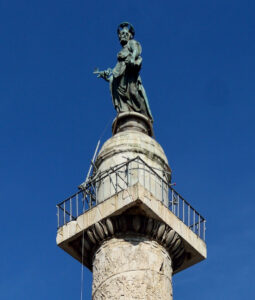
Original photo: Trajan’s Column, posted to Wikimedia by user Livioandronico2013 in May, 2015, https://en.wikipedia.org/wiki/File:Trajan%27s_Column_HD.jpg
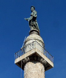
I used Gimp to rescale the image above in order to use it as a thumbnail. This was easy enough to do, using the scale image tool. I found it easy enough to experiment with, and changing the resolution of the image was actually fairly easy to do, using the sliders in the scale image tool. I would use this tool again if I needed to quickly shrink, or enlarge an image.
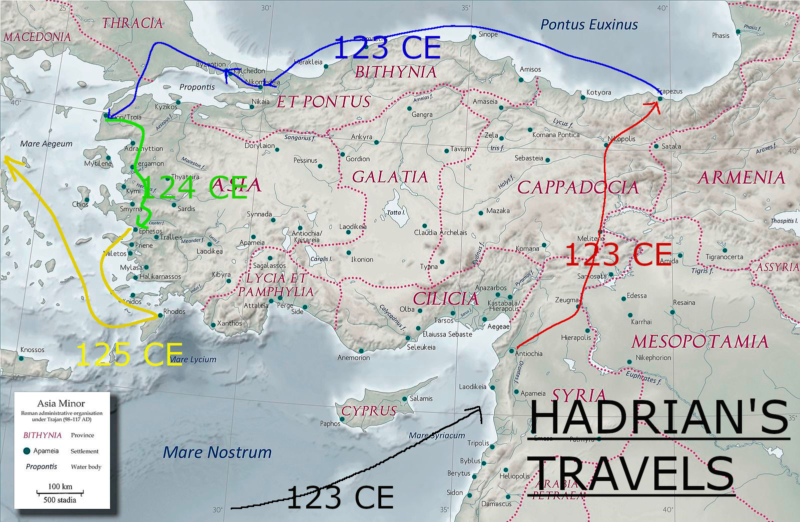
I also played with creation of a graphic, using Gimp to create several layers over an image of a map of the Roman Near East in the 2nd century CE. Over this map, I drew the travels of the Roman Emperor Hadrian from 123-125CE. I like to show students how sources from the period can be used to help us recreate some events from the past with fairly credible detail, as students in Grade 7 Social Studies learn to assess the credibility of multiple sources and the adequacy of evidence used to justify conclusions. I could see this map being used alongside several selected letters, statue dedication plinths and correspondences which show that Hadrian visited different cities of the Eastern part of the Roman Empire during the period 123-125 CE. I would then have students compare the letter’s to the map, and decide whether the map accurately depicts the travels of Hadrian, justifying their position with evidence drawn from the sources.
I feel that the map with the route of Hadrian overlaid will be helpful for students with low levels of prior knowledge as it combines some text (dates of years, place names, etc.) with visuals (the geography represented by the map, the arrows showing Hadrian’s route). Numerous studies have shown that “students usually learn better from words and pictures than from words alone,” (Schnotz, 2022, p. 90). This multi-media effect should be helpful for my class, in building up a sense of what that area looked like, and in helping them tie the understanding they gather from written primary sources to a depiction of the route Hadrian took.
References:
Schnotz, W. (2022). Integrated Model of Text and Picture Comprehension. In R.E. Mayer & L. Fiorella (Eds.), The Cambridge Handbook of Multimedia Learning (pp. 82-99). Cambridge University Press.